 Demo Catalogue powered by geOrchestra
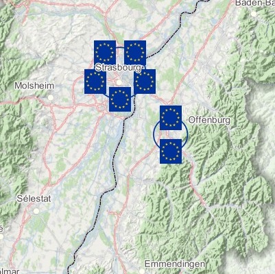
Map of interreg projects to develop the Upper Rhine energy sector - 2023
As part of the Interreg ATMO-Rhena PLUS project, TRION-climat has identified and described Interreg projects for the development of the energy sector in the Upper Rhine. This map presents the results of this study.
Simple
- Date (Creation)
- 2024-01-08
- Date (Publication)
- 2024-01-16
- Date (Revision)
- 2024-02-29
- Citation identifier
- 07_2024_326
- Status
- Completed
- Point of contact
-
Organisation name Individual name Electronic mail address Role GeoRhena
GeoRhena
Processor TRION-Climate
Custodian
- Maintenance and update frequency
- Not planned
- Place
-
-
Upper Rhine
-
-
GEMET - Concepts, version 2.4
-
-
sustainable development
-
energy production
-
co-operation
-
Europe
-
- Theme
-
-
Crossborder
-
INTERREG
-
Energie
-
- Use limitation
-
Licence CC BY
- Access constraints
- Other restrictions
- Use constraints
- Other restrictions
- Other constraints
-
No other limitation
- Denominator
- 100000
- Language
- Français
- Language
- Deutsch
- Character set
- UTF8
- Topic category
-
- Environment
- Distribution format
-
Name Version PDF Map
-
- OnLine resource
-
Protocol Linkage Name WWW:DOWNLOAD-1.0-http--download https://www.georhena.eu/sites/default/files/Cartes/07_2024_326.pdf Pdf Download
Metadata
- File identifier
- ff6fc859-9882-4805-97ae-53ec90116531 XML
- Metadata language
- Français
- Character set
- UTF8
- Hierarchy level
- Static map
- Hierarchy level name
-
Carte statique
- Date stamp
- 2024-02-29T15:02:46.647019Z
- Metadata standard name
-
ISO 19115:2003/19139
- Metadata standard version
-
1.0
- Metadata author
-
Organisation name Individual name Electronic mail address Role GeoRhena: Geographical Information System of the Upper Rhine
Author
- Other language
-
Language Character encoding German UTF8 English UTF8 French UTF8
)
