 Demo Catalogue powered by geOrchestra
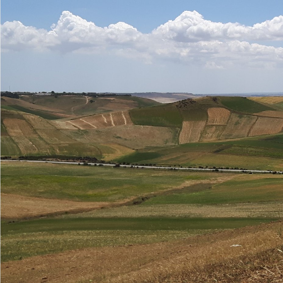
Preliminary mapping of linear landscape elements. Lebna dam catchment area, Tunis. May 2023.
Describing the spatial configurations of cropping systems is necessary to understand how they are organized and explore plausible change scenarios. A wide range of data is required for this description, covering cropping sequences and associated practices. However, the availability and completeness of the data vary greatly, depending on the region and the spatial level of interest. This study focuses on characterising linear elements (paths, field boundaries, hedges, hydrographic network, etc.) of a Mediterranean agricultural landscape in the context of rain-fed mixed cropping livestock farming. The aim is to understand the impact of linear elements on the spatial organisation of crop rotations. Based on existing literature, we identified criteria for describing and classifying these linear elements using visual indicators. A field survey was realized to validate the classification and supplement the existing data. The classification is based on two criteria of agronomic interest: origin (anthropogenic or natural), and level of lateral porosity: non-crossable, crossable by machines, animals or humans. Spatial statistical analyses will allow exploring the role of barrier or junction that linear landscape elements can play in defining clusters of cropping systems (shared crop rotation) in the Lebna catchment, in Tunisia.
Simple
- Date (Publication)
- 2023-10-24
- Purpose
-
Etude pilote pour la compréhension du rôle des éléments linéaires dans la définition des assolements partagés, à la suite de l'étude de Biarnès et al. 2021 et Mekki et al. 2018
- Status
- On going
- Point of contact
-
Organisation name Individual name Electronic mail address Role LISAH
Aymen Ben Ahmed
Resource provider UMR LISAH - INRAE, IRD, Institut Agro Montpellier, AgroParisTech
Pôle SI
Custodian UMR LISAH - INRAE, IRD, Institut Agro Montpellier, AgroParisTech
Aymen Ben Ahmed
Author UMR LISAH - INRAE, IRD, Institut Agro Montpellier, AgroParisTech
Davide RIZZO
Author
- Maintenance and update frequency
- Irregular
- Access constraints
- Restricted
- Use constraints
- License
- Other constraints
-
CC BY 4.0
- Spatial representation type
- Vector
- Denominator
- 5000
- Language
- Français
- Character set
- UTF8
- Topic category
-
- Boundaries
- Farming
- Begin date
- 2023-04-24
- End date
- 2023-05-13
))
- Supplemental Information
-
UMR LISAH
- Unique resource identifier
- WGS84 -EPSG:4326 https://www.opengis.net/def/crs/EPSG/9.9.1/4326
- Distributor contact
-
Organisation name Individual name Electronic mail address Role Datasuds-geo
Publisher
- OnLine resource
-
Protocol Linkage Name DOI https://zenodo.org/doi/10.5281/zenodo.10025332 Présentation de l'étude à PayOTe2023
DOI https://doi.org/10.1016/j.agsy.2021.103281 Biarnès et al. 2021
DOI https://doi.org/10.1016/j.landusepol.2018.04.004 Mekki et al. 2018
OGC:WMS https://datasuds-geo.ird.fr/geoserver/lisah_ws/wms Lebna_Tunisie_elements_lineaires
WWW:DOWNLOAD-1.0-http--download https://datasuds-geo.ird.fr/geoserver/lisah_ws/ows?service=WFS&version=1.0.0&request=GetFeature&typeName=lisah_ws%3ALebna_Tunisie_elements_lineaires&outputFormat=SHAPE-ZIP Lebna elements linaires
WWW:LINK-1.0-http--link
https://hal.inrae.fr/hal-04534683 Mémoire mastere de recherche en science agronomiques. Aymen BEN AHMED. 2023.
DOI https://doi.org/10.23708/f7fc145d-3a94-4915-9c79-880b26bf4e7d Digital Object Identifier (DOI)
- Hierarchy level
- Dataset
- Statement
-
Le jeux de données a été créé dans le cadre des activités de recherche de la Chaire de Professeur Junior en Géoagronomie (IRD, LISAH).
Ce travail de cartographie des éléments paysagers linéaires s'appuie sur les études d’identification des clusters de cultures présentés par Mekki et al. (2018) et Biarnès et al. (2021) dans le bassin versant du Lebna. L'échantillonnage, couvrant 7,75 km², est conçu pour représenter à la fois les zones de clusters (3,35 km²) et hors clusters (4,40 km²). Il inclut quatre zones en partie collinaire et deux en plaine, englobant 13 clusters aux séquences de cultures variées (blé, condiments, légumineuses, maraîchage, alimentation animale).
Cette stratégie d’échantillonnage a visé à capturer la diversité des éléments linéaires selon la topographie et les pratiques agricoles collectives, permettant une analyse comparative.
Les démarches d’acquisition et traitement des données sont décrites en détail dans le mémoire rédigé par Aymen Ben Ahmed ( https://hal.inrae.fr/hal-04534683)
Metadata
- File identifier
- f7fc145d-3a94-4915-9c79-880b26bf4e7d XML
- Metadata language
- Français
- Character set
- UTF8
- Hierarchy level
- Dataset
- Date stamp
- 2024-10-21T13:19:58.977457Z
- Metadata standard name
-
ISO 19115:2003/19139
- Metadata standard version
-
1.0
- Metadata author
-
Organisation name Individual name Electronic mail address Role UMR LISAH - INRAE, IRD, Institut Agro Montpellier, AgroParisTech
Viqui Agazzi
Custodian
- Other language
-
Language Character encoding English UTF8 French UTF8
)))
