 Demo Catalogue powered by geOrchestra
Vietnam : fond topographique des provinces de Gia Lai Kontum, Darlac et Lam Dong. Scale of 1:1 000 000. Date of publication: 1993.
1. Mang Luoi Song Ngoi : Vietnam : fond topographique des provinces de Gia Lai Kontum, Darlac et Lam Dong. / ORSTOM, Institut français de recherche scientifique pour le développement en coopération; Scale of 1:1 000 000. Date of publication: 1993. (file: 11051RC_IRD_VNM_TOPO_1993_1000000_IRD_VNM_TOPO_1993_1000000.tif)
2. Tay Nguyen - Dan Cu : Vietnam : fond topographique des provinces de Gia Lai Kontum, Darlac et Lam Dong. / ORSTOM, Institut français de recherche scientifique pour le développement en coopération; Scale of 1:1 000 000. Date of publication: 1993. (file: 11052RC_IRD_VNM_TOPO_1993_1000000_IRD_VNM_TOPO_1993_1000000.tif)
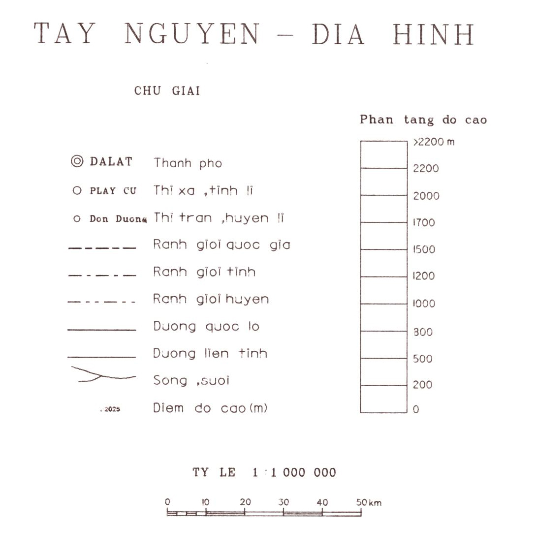
3. Tay Nguyen - Dia Hinh : Vietnam : fond topographique des provinces de Gia Lai Kontum, Darlac et Lam Dong. / ORSTOM, Institut français de recherche scientifique pour le développement en coopération; Scale of 1:1 000 000. Date of publication: 1993. (file: 11050RC_IRD_VNM_TOPO_1993_1000000_IRD_VNM_TOPO_1993_1000000.tif)
4. Tho Nhuong : Vietnam : fond topographique des provinces de Gia Lai Kontum, Darlac et Lam Dong. / ORSTOM, Institut français de recherche scientifique pour le développement en coopération; Scale of 1:1 000 000. Date of publication: 1993. (file: 11053RC_IRD_VNM_TOPO_1993_1000000_IRD_VNM_TOPO_1993_1000000.tif)
Simple
- Date (Publication)
- 1993-01-01
- Citation identifier
- IRD_VNM_TOPO_1993_1000000
- Credit
-
The region Île-de-France, under the project NumeriSud, supported the action to transforme around 2800 maps that are conserved at the Institut de recherche pour le développement (IRD) library in Bondy into a standard coordinate system. The transformation of the images has been done by Global Mapping Resources (South Africa) under the supervision of R. Zaiss (éditeur) 2014.
- Status
- Completed
- Point of contact
-
Organisation name Individual name Electronic mail address Role Institut de recherche pour le développement (IRD)
Production cartographique IRD
Point of contact ORSTOM, Institut français de recherche scientifique pour le développement en coopération
Author
- Maintenance and update frequency
- Not planned
-
Geounits
-
-
Asia
-
South-Eastern Asia
-
Vietnam
-
- Theme
-
-
topography
-
thematic map
-
- Keywords
-
-
project NumeriSud
-
local coverage
-
- Use limitation
-
Licence : CC-BY-NC-SA
- Access constraints
- licence
- Classification
- Unclassified
- Spatial representation type
- Grid
- Denominator
- 1000000
- Language
- Français
- Character set
- UTF8
- Topic category
-
- Elevation
- Imagery base maps earth cover
))
- Begin date
- 1993-01-01
- End date
- 1993-12-31
- Supplemental Information
-
Publication(s):
ORSTOM (éditeur) (1993): Mang Luoi Song Ngoi : [Vietnam : fond topographique des provinces de Gia Lai Kontum, Darlac et Lam Dong]. Paris (FRA) : ORSTOM, Institut français de recherche scientifique pour le développement en coopération.
ORSTOM (éditeur) (1993): Tay Nguyen - Dan Cu : [Vietnam : fond topographique des provinces de Gia Lai Kontum, Darlac et Lam Dong]. Paris (FRA) : ORSTOM, Institut français de recherche scientifique pour le développement en coopération.
ORSTOM (éditeur) (1993): Tay Nguyen - Dia Hinh : [Vietnam : fond topographique des provinces de Gia Lai Kontum, Darlac et Lam Dong]. Paris (FRA) : ORSTOM, Institut français de recherche scientifique pour le développement en coopération.
ORSTOM (éditeur) (1993): Tho Nhuong : [Vietnam : fond topographique des provinces de Gia Lai Kontum, Darlac et Lam Dong]. Paris (FRA) : ORSTOM, Institut français de recherche scientifique pour le développement en coopération.
- Reference system identifier
- EPSG / 4326 / 7.9
- Distribution format
-
Name Version GeoTIFF
1.0
- Distributor contact
-
Organisation name Individual name Electronic mail address Role DataSuds-geo
Publisher
- OnLine resource
-
Protocol Linkage Name OGC:WMS
https://datasuds-geo.ird.fr/geoserver/wms sphaera_ws:11051RC_IRD_VNM_TOPO_1993_1000000_IRD_VNM_TOPO_1993_1000000
WWW:DOWNLOAD:GeoTIFF https://datasuds-geo.ird.fr/geoserver/ows?service=WCS&version=2.0.1&request=GetCoverage&coverageId=11051RC_IRD_VNM_TOPO_1993_1000000_IRD_VNM_TOPO_1993_1000000
- OnLine resource
-
Protocol Linkage Name OGC:WMS
https://datasuds-geo.ird.fr/geoserver/wms sphaera_ws:11052RC_IRD_VNM_TOPO_1993_1000000_IRD_VNM_TOPO_1993_1000000
WWW:DOWNLOAD:GeoTIFF https://datasuds-geo.ird.fr/geoserver/ows?service=WCS&version=2.0.1&request=GetCoverage&coverageId=11052RC_IRD_VNM_TOPO_1993_1000000_IRD_VNM_TOPO_1993_1000000
- OnLine resource
-
Protocol Linkage Name OGC:WMS
https://datasuds-geo.ird.fr/geoserver/wms sphaera_ws:11050RC_IRD_VNM_TOPO_1993_1000000_IRD_VNM_TOPO_1993_1000000
WWW:DOWNLOAD:GeoTIFF https://datasuds-geo.ird.fr/geoserver/ows?service=WCS&version=2.0.1&request=GetCoverage&coverageId=11050RC_IRD_VNM_TOPO_1993_1000000_IRD_VNM_TOPO_1993_1000000
- OnLine resource
-
Protocol Linkage Name OGC:WMS
https://datasuds-geo.ird.fr/geoserver/wms sphaera_ws:11053RC_IRD_VNM_TOPO_1993_1000000_IRD_VNM_TOPO_1993_1000000
WWW:DOWNLOAD:GeoTIFF https://datasuds-geo.ird.fr/geoserver/ows?service=WCS&version=2.0.1&request=GetCoverage&coverageId=11053RC_IRD_VNM_TOPO_1993_1000000_IRD_VNM_TOPO_1993_1000000
- OnLine resource
-
Protocol Linkage Name DOI
https://doi.org/10.23708/f525cad0-ce51-404e-87fa-4102f66b7dff Digital Object Identifier (DOI)
- Hierarchy level
- Dataset
- Statement
-
1. Scanning to tif format, 256 colors, 250dpi.
2. Georeferencing and if possible reprojection to WGS84 (Longitude / Latitude).
3. Clipping and mosaicing of map sheets(s).
4. Export ECW format.
5. ECW to GeoTIFF format conversion.
Metadata
- File identifier
- f525cad0-ce51-404e-87fa-4102f66b7dff XML
- Metadata language
- English
- Character set
- UTF8
- Hierarchy level
- Dataset
- Hierarchy level name
-
dataset
- Date stamp
- 2024-02-13T16:56:49.487222Z
- Metadata standard name
-
ISO 19115:2003/19139
- Metadata standard version
-
1.0
- Metadata author
-
Organisation name Individual name Electronic mail address Role Institut de recherche pour le développement (IRD)
Service de l'Information Scientifique et Technique (IST) IRD
Point of contact Institut de recherche pour le développement (IRD)
IRD
Resource provider
Overviews


Spatial extent
Provided by
