 Demo Catalogue powered by geOrchestra
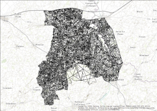
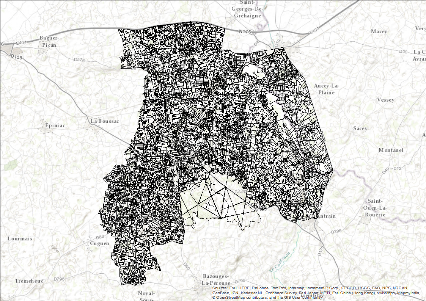
Relevés floristiques en bordures de champs (Pleine-Fougères, 2014) - Zone Atelier Armorique ZAAr
"Relevés floristiques sur les 3 mini-réseaux (A, B et C) de la Zone Atelier de Pleine-fougères suivant un référentiel de 42 espèces"
Relevés en présence/absence de 42 espèces floristiques (espèces du référentiel Ecobordure) dans les bords de champs des 3 mini-réseaux bocagers de Pleine-fougères
Protocole: transect de 25m placé au niveau d'un tronçon homogène du bord de champ
Simple
- Date (Creation)
- 2014-07-01
- Citation identifier
- https://www.osuris.fr/geonetwork/srv/metadata/ea665b7d-80b5-4da8-a18a-f02c524c0dee
- Presentation form
- Digital table
- Status
- Completed
- Point of contact
-
Organisation name Individual name Electronic mail address Role BAGAP UMR 0980 INRAE Agrocampus Ouest ESA
Jean-Luc Roger
Author BAGAP UMR 0980 INRAE Agrocampus Ouest ESA
Audrey Alignier
Point of contact
- Maintenance and update frequency
- As needed
- Theme
-
-
végétation
-
- Theme
-
-
mini réseaux
-
ecobordure
-
-
theme.EnvironnementFR.rdf
-
-
Ecologie et environnement
-
Paysages et sites
-
Flore (caractéres généraux)
-
-
GEMET - INSPIRE themes, version 1.0
-
-
Habitats et biotopes
-
- Use limitation
-
Utilisation libre sous réserve de mentionner la source (a minima le nom du producteur) et la date de sa dernière mise à jour
- Access constraints
- Restricted
- Use constraints
- License
- Other constraints
-
licence CC-BY-NC 4.0
- Spatial representation type
- Text, table
- Denominator
- 5000
- Language
- Français
- Character set
- UTF8
- Topic category
-
- Biota
- Begin date
- 2007-05-15
- End date
- 2014-07-01
))
- Supplemental Information
-
France, pleine-fougères
- Reference system identifier
- RGF93/Lambert 93 (EPSG:2154)
- Distribution format
-
Name Version Esri Shapefile
- OnLine resource
-
Protocol Linkage Name OGC:WMS-1.3.0-http-get-capabilities
https://www.osuris.fr/geoserver/ecobio/wms ecobio:Releves_floristiques_3_mini-reseaux_haies_P_F
WWW:LINK-1.0-http--link
https://doi.org/10.1016/j.ecolind.2017.11.046
- Hierarchy level
- Series
Conformance result
- Title
-
COMMISSION REGULATION (EU) No 1089/2010 of 23 November 2010 implementing Directive 2007/2/EC of the European Parliament and of the Council as regards interoperability of spatial data sets and services
- Date (Publication)
- 2018-07-09
- Statement
-
Relevés floristiques réalisés par un expert (Jean-Luc Roger).
Guide d'utilisation de l'outil Ecobordure pour les 42 espèces.
Voir aussi: Alignier, A., Le Cœur, D., Lanoë, E., Ferchaud, F., Roche, B., & Thenail, C. (2018). Ecobordure: A flora-based indicator to assess vegetation patterns of field margins and infer its local drivers. Design in Brittany (France). Ecological Indicators, 85, 832-840.
Metadata
- File identifier
- ea665b7d-80b5-4da8-a18a-f02c524c0dee XML
- Metadata language
- Français
- Character set
- UTF8
- Hierarchy level
- Dataset
- Date stamp
- 2021-03-19T10:15:43
- Metadata standard name
-
ISO 19115:2003/19139
- Metadata standard version
-
1.0
- Metadata author
-
Organisation name Individual name Electronic mail address Role BAGAP UMR 0980 INRAE Agrocampus Ouest ESA
Audrey Alignier
Point of contact Zone Atelier Armorique
Distributor
)))
