 Demo Catalogue powered by geOrchestra
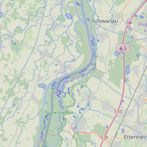
Water in the Upper Rhine area
Interactive map related to the theme of water
Simple
- Date (Publication)
- 2021-10-22T08:33:49
- Presentation form
- Digital map
- Status
- Completed
- Point of contact
-
Organisation name Individual name Electronic mail address Role GeoRhena
Author
- Language
- Français
N
S
E
W
))
- Reference system identifier
- EPSG:3857
- Distribution format
-
Name Version OGC:OWS-C
- OnLine resource
-
Protocol Linkage Name WWW:LINK-1.0-http--related
https://geoportal.georhena.eu/mapstore/#/viewer/openlayers/67 Water in the Upper Rhine area
Data quality info
No information provided.
Metadata
- File identifier
- e0cffc1c-e502-49ed-8e59-c9ddc8aeb32f XML
- Metadata language
-
fre
- Character set
- UTF8
- Hierarchy level
- Interactive map
- Hierarchy level name
-
1.0
- Date stamp
- 2022-09-27T08:42:36.746966Z
- Metadata standard name
-
ISO 19115:2003/19139
- Metadata standard version
-
1.0
- Metadata author
-
Organisation name Individual name Electronic mail address Role GeoRhena
Author
- Other language
-
Language Character encoding German UTF8 English UTF8 French UTF8
)))
