 Demo Catalogue powered by geOrchestra
Bolivia : salinidades ionicas de los rios de la cuenca amazonica. Scale of 1:10 000 000 to 1:1 000 000. Date of publication: 1986.
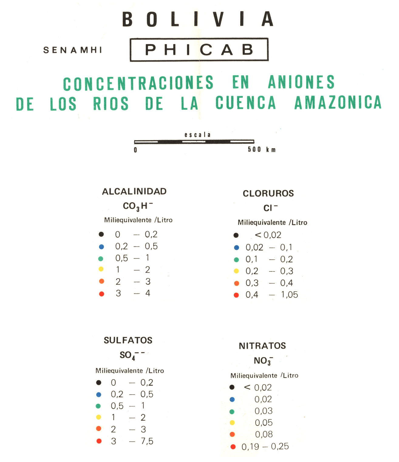
1. Bolivia : concentraciones en aniones de los rios de la cuenca amazonica. / Roche, Michel Alain; Abasto, Nestor; Cordier, Jean Paul; Pointillart, Christian; Tolede, Marcel; Scale of 1:10 000 000. Date of publication: 1986. (files: 15114RC_IRD_BOL_GEHY_1986_10000000-01_IRD_BOL_GEHY_1986_10000000-1000000.tif, 15114RC_IRD_BOL_GEHY_1986_10000000-02_IRD_BOL_GEHY_1986_10000000-1000000.tif, 15114RC_IRD_BOL_GEHY_1986_10000000-03_IRD_BOL_GEHY_1986_10000000-1000000.tif, 15114RC_IRD_BOL_GEHY_1986_10000000-04_IRD_BOL_GEHY_1986_10000000-1000000.tif)
2. Bolivia : concentraciones en cationes de los rios de la cuenca amazonica. / Roche, Michel Alain; Abasto, Nestor; Cordier, Jean Paul; Pointillart, Christian; Tolede, Marcel; Scale of 1:10 000 000. Date of publication: 1986. (files: 15115RC_IRD_BOL_GEHY_1986_10000000-01_IRD_BOL_GEHY_1986_10000000-1000000.tif, 15115RC_IRD_BOL_GEHY_1986_10000000-02_IRD_BOL_GEHY_1986_10000000-1000000.tif, 15115RC_IRD_BOL_GEHY_1986_10000000-03_IRD_BOL_GEHY_1986_10000000-1000000.tif, 15115RC_IRD_BOL_GEHY_1986_10000000-04_IRD_BOL_GEHY_1986_10000000-1000000.tif)
3. Bolivia : salinidades ionicas de los rios de la cuenca amazonica. / Roche, Michel Alain; Abasto, Nestor; Cordier, Jean Paul; Pointillart, Christian; Tolede, Marcel; Scale of 1:1 000 000. Date of publication: 1986. (files: 02617RC_IRD_BOL_GEHY_1986_1000000-01_IRD_BOL_GEHY_1986_10000000-1000000.tif, 02617RC_IRD_BOL_GEHY_1986_1000000-02_IRD_BOL_GEHY_1986_10000000-1000000.tif, 02617RC_IRD_BOL_GEHY_1986_1000000-03_IRD_BOL_GEHY_1986_10000000-1000000.tif, 02617RC_IRD_BOL_GEHY_1986_1000000-04_IRD_BOL_GEHY_1986_10000000-1000000.tif)
Simple
- Date (Publication)
- 1986-01-01
- Citation identifier
- IRD_BOL_GEHY_1986_10000000-1000000
- Credit
-
The region Île-de-France, under the project NumeriSud, supported the action to transforme around 2800 maps that are conserved at the Institut de recherche pour le développement (IRD) library in Bondy into a standard coordinate system. The transformation of the images has been done by Global Mapping Resources (South Africa) under the supervision of R. Zaiss (éditeur) 2014.
- Status
- Completed
- Point of contact
-
Organisation name Individual name Electronic mail address Role Institut de recherche pour le développement (IRD)
Production cartographique IRD
Point of contact Roche, Michel Alain
Author Abasto, Nestor
Author Cordier, Jean Paul
Author Pointillart, Christian
Author Tolede, Marcel
Author ORSTOM, Office de la recherche scientifique et technique outre-mer
editor PHICAB, Proyecto hidrologico y climatologico de Bolivia
editor SENAMHI, Servicio national de meteorologia e hidrologia
editor
- Maintenance and update frequency
- Not planned
-
Geounits
-
-
Americas
-
South America
-
Bolivia
-
- Theme
-
-
thematic map
-
- Keywords
-
-
project NumeriSud
-
national coverage
-
labex CEBA
-
- Use limitation
-
Licence : CC-BY-NC-SA
- Access constraints
- licence
- Classification
- Unclassified
- Spatial representation type
- Grid
- Denominator
- 1000000
- Language
- Français
- Character set
- UTF8
- Topic category
-
- Geoscientific information
))
- Begin date
- 1986-01-01
- End date
- 1986-12-31
- Supplemental Information
-
Publication(s):
Abasto, N., Pointillart, C., Tolede, M., Roche, M. A., Cordier, J. P. (1986): Bolivia : concentraciones en aniones de los rios de la cuenca amazonica. [La Paz] (BOL) : SENAMHI, Servicio national de meteorologia e hidrologia ; [La Paz] (BOL) : ORSTOM, Office de la recherche scientifique et technique outre mer ; [La Paz] (BOL) : PHICAB, Proyecto hidrologico y climatologico de Bolivia.
Abasto, N., Roche, M. A., Tolede, M., Pointillart, C., Cordier, J. P. (1986): Bolivia : salinidades ionicas de los rios de la cuenca amazonica. [La Paz] (BOL) : SENAMHI, Servicio national de meteorologia e hidrologia ; [La Paz] (BOL) : ORSTOM, Office de la recherche scientifique et technique outre mer ; [La Paz] (BOL) : PHICAB, Proyecto hidrologico y climatologico de Bolivia.
Cordier, J. P., Abasto, N., Roche, M. A., Tolede, M., Pointillart, C. (1986): Bolivia : concentraciones en cationes de los rios de la cuenca amazonica. [La Paz] (BOL) : SENAMHI, Servicio national de meteorologia e hidrologia ; [La Paz] (BOL) : ORSTOM, Office de la recherche scientifique et technique outre mer ; [La Paz] (BOL) : PHICAB, Proyecto hidrologico y climatologico de Bolivia.
- Reference system identifier
- EPSG / 4326 / 7.9
- Distribution format
-
Name Version GeoTIFF
1.0
- Distributor contact
-
Organisation name Individual name Electronic mail address Role DataSuds-geo
Publisher
- OnLine resource
-
Protocol Linkage Name OGC:WMS
https://datasuds-geo.ird.fr/geoserver/wms sphaera_ws:15114RC_IRD_BOL_GEHY_1986_10000000-01_IRD_BOL_GEHY_1986_10000000-1000000
WWW:DOWNLOAD:GeoTIFF https://datasuds-geo.ird.fr/geoserver/ows?service=WCS&version=2.0.1&request=GetCoverage&coverageId=15114RC_IRD_BOL_GEHY_1986_10000000-01_IRD_BOL_GEHY_1986_10000000-1000000
- OnLine resource
-
Protocol Linkage Name OGC:WMS
https://datasuds-geo.ird.fr/geoserver/wms sphaera_ws:15114RC_IRD_BOL_GEHY_1986_10000000-02_IRD_BOL_GEHY_1986_10000000-1000000
WWW:DOWNLOAD:GeoTIFF https://datasuds-geo.ird.fr/geoserver/ows?service=WCS&version=2.0.1&request=GetCoverage&coverageId=15114RC_IRD_BOL_GEHY_1986_10000000-02_IRD_BOL_GEHY_1986_10000000-1000000
- OnLine resource
-
Protocol Linkage Name OGC:WMS
https://datasuds-geo.ird.fr/geoserver/wms sphaera_ws:15114RC_IRD_BOL_GEHY_1986_10000000-03_IRD_BOL_GEHY_1986_10000000-1000000
WWW:DOWNLOAD:GeoTIFF https://datasuds-geo.ird.fr/geoserver/ows?service=WCS&version=2.0.1&request=GetCoverage&coverageId=15114RC_IRD_BOL_GEHY_1986_10000000-03_IRD_BOL_GEHY_1986_10000000-1000000
- OnLine resource
-
Protocol Linkage Name OGC:WMS
https://datasuds-geo.ird.fr/geoserver/wms sphaera_ws:15114RC_IRD_BOL_GEHY_1986_10000000-04_IRD_BOL_GEHY_1986_10000000-1000000
WWW:DOWNLOAD:GeoTIFF https://datasuds-geo.ird.fr/geoserver/ows?service=WCS&version=2.0.1&request=GetCoverage&coverageId=15114RC_IRD_BOL_GEHY_1986_10000000-04_IRD_BOL_GEHY_1986_10000000-1000000
- OnLine resource
-
Protocol Linkage Name OGC:WMS
https://datasuds-geo.ird.fr/geoserver/wms sphaera_ws:15115RC_IRD_BOL_GEHY_1986_10000000-01_IRD_BOL_GEHY_1986_10000000-1000000
WWW:DOWNLOAD:GeoTIFF https://datasuds-geo.ird.fr/geoserver/ows?service=WCS&version=2.0.1&request=GetCoverage&coverageId=15115RC_IRD_BOL_GEHY_1986_10000000-01_IRD_BOL_GEHY_1986_10000000-1000000
- OnLine resource
-
Protocol Linkage Name OGC:WMS
https://datasuds-geo.ird.fr/geoserver/wms sphaera_ws:15115RC_IRD_BOL_GEHY_1986_10000000-02_IRD_BOL_GEHY_1986_10000000-1000000
WWW:DOWNLOAD:GeoTIFF https://datasuds-geo.ird.fr/geoserver/ows?service=WCS&version=2.0.1&request=GetCoverage&coverageId=15115RC_IRD_BOL_GEHY_1986_10000000-02_IRD_BOL_GEHY_1986_10000000-1000000
- OnLine resource
-
Protocol Linkage Name OGC:WMS
https://datasuds-geo.ird.fr/geoserver/wms sphaera_ws:15115RC_IRD_BOL_GEHY_1986_10000000-03_IRD_BOL_GEHY_1986_10000000-1000000
WWW:DOWNLOAD:GeoTIFF https://datasuds-geo.ird.fr/geoserver/ows?service=WCS&version=2.0.1&request=GetCoverage&coverageId=15115RC_IRD_BOL_GEHY_1986_10000000-03_IRD_BOL_GEHY_1986_10000000-1000000
- OnLine resource
-
Protocol Linkage Name OGC:WMS
https://datasuds-geo.ird.fr/geoserver/wms sphaera_ws:15115RC_IRD_BOL_GEHY_1986_10000000-04_IRD_BOL_GEHY_1986_10000000-1000000
WWW:DOWNLOAD:GeoTIFF https://datasuds-geo.ird.fr/geoserver/ows?service=WCS&version=2.0.1&request=GetCoverage&coverageId=15115RC_IRD_BOL_GEHY_1986_10000000-04_IRD_BOL_GEHY_1986_10000000-1000000
- OnLine resource
-
Protocol Linkage Name OGC:WMS
https://datasuds-geo.ird.fr/geoserver/wms sphaera_ws:02617RC_IRD_BOL_GEHY_1986_1000000-01_IRD_BOL_GEHY_1986_10000000-1000000
WWW:DOWNLOAD:GeoTIFF https://datasuds-geo.ird.fr/geoserver/ows?service=WCS&version=2.0.1&request=GetCoverage&coverageId=02617RC_IRD_BOL_GEHY_1986_1000000-01_IRD_BOL_GEHY_1986_10000000-1000000
- OnLine resource
-
Protocol Linkage Name OGC:WMS
https://datasuds-geo.ird.fr/geoserver/wms sphaera_ws:02617RC_IRD_BOL_GEHY_1986_1000000-02_IRD_BOL_GEHY_1986_10000000-1000000
WWW:DOWNLOAD:GeoTIFF https://datasuds-geo.ird.fr/geoserver/ows?service=WCS&version=2.0.1&request=GetCoverage&coverageId=02617RC_IRD_BOL_GEHY_1986_1000000-02_IRD_BOL_GEHY_1986_10000000-1000000
- OnLine resource
-
Protocol Linkage Name OGC:WMS
https://datasuds-geo.ird.fr/geoserver/wms sphaera_ws:02617RC_IRD_BOL_GEHY_1986_1000000-03_IRD_BOL_GEHY_1986_10000000-1000000
WWW:DOWNLOAD:GeoTIFF https://datasuds-geo.ird.fr/geoserver/ows?service=WCS&version=2.0.1&request=GetCoverage&coverageId=02617RC_IRD_BOL_GEHY_1986_1000000-03_IRD_BOL_GEHY_1986_10000000-1000000
- OnLine resource
-
Protocol Linkage Name OGC:WMS
https://datasuds-geo.ird.fr/geoserver/wms sphaera_ws:02617RC_IRD_BOL_GEHY_1986_1000000-04_IRD_BOL_GEHY_1986_10000000-1000000
WWW:DOWNLOAD:GeoTIFF https://datasuds-geo.ird.fr/geoserver/ows?service=WCS&version=2.0.1&request=GetCoverage&coverageId=02617RC_IRD_BOL_GEHY_1986_1000000-04_IRD_BOL_GEHY_1986_10000000-1000000
- OnLine resource
-
Protocol Linkage Name DOI
https://doi.org/10.23708/db9d7b7b-ffb0-4549-a546-fceb21994e84 Digital Object Identifier (DOI)
- Hierarchy level
- Dataset
- Statement
-
1. Scanning to tif format, 256 colors, 250dpi.
2. Georeferencing and if possible reprojection to WGS84 (Longitude / Latitude).
3. Clipping and mosaicing of map sheets(s).
4. Export ECW format.
5. ECW to GeoTIFF format conversion.
Metadata
- File identifier
- db9d7b7b-ffb0-4549-a546-fceb21994e84 XML
- Metadata language
- English
- Character set
- UTF8
- Hierarchy level
- Dataset
- Hierarchy level name
-
dataset
- Date stamp
- 2024-02-13T19:28:45.036255Z
- Metadata standard name
-
ISO 19115:2003/19139
- Metadata standard version
-
1.0
- Metadata author
-
Organisation name Individual name Electronic mail address Role Institut de recherche pour le développement (IRD)
Service de l'Information Scientifique et Technique (IST) IRD
Point of contact Institut de recherche pour le développement (IRD)
IRD
Resource provider
Overviews


Spatial extent
Provided by
