 Demo Catalogue powered by geOrchestra
Traits de côte Manche, Cavaldos de 1947 à 2010
Traits de côte de Manche, Cavaldos de 1947 à 2010
Simple
- Date (Publication)
- 2023
- Credit
-
ROLNHDF
- Point of contact
-
Organisation name Individual name Electronic mail address Role Réseau d'Observation du Littoral de Normandie et des Hauts-de-France
Maëlys LOPIN
Author Réseau d'Observation du Littoral de Normandie et des Hauts-de-France
Arnaud THULIE
Author Réseau d'Observation du Littoral de Normandie et des Hauts-de-France
Publisher
-
Thèmes Sextant
-
-
/Milieu physique/Limites physiographiques/Trait de côte
-
-
GEMET - INSPIRE themes, version 1.0
-
-
Régions maritimes
-
- Keywords
-
-
Normandie
-
Manche
-
Calvados
-
Littoral
-
Trait de côte
-
Evolution
-
ROL
-
- Use limitation
- Licence Ouverte
- Access constraints
- Intellectual property rights
- Use constraints
- Intellectual property rights
- Spatial representation type
- Vector
- Language
- Français
- Character set
- UTF8
- Topic category
-
- Environment
N
S
E
W
))
- Unique resource identifier
- EPSG:3857
Spatial representation info
No information provided.
- Geometric object type
- Curve
- Distribution format
-
Name Version
- OnLine resource
-
Protocol Linkage Name OGC:WMS
https://maps.rolnhdf.fr/arcgis/services/Dynamique_littorale/Evolution_du_littoral_BN/MapServer/WMSServer 11
- Hierarchy level
- Dataset
Conformance result
- Date (Publication)
- 2010-12-08
- Explanation
-
See the referenced specification
- Pass
- Yes
- Statement
-
Source: ROLNP, DREAL BN
-Traits de côte de basse Normandie 1947, 1977, 1982, 1991, 2000, 2005-10 (naturel & artificiel)
Metadata
- File identifier
- d8441973-ae5f-43ab-aa09-b27871a1c7ee XML
- Metadata language
- Français
- Character set
- UTF8
- Hierarchy level
- Dataset
- Date stamp
- 2024-04-17T11:59:40.282Z
- Metadata standard name
-
ISO 19115:2003/19139 - SEXTANT
- Metadata standard version
-
1.0
- Metadata author
-
Organisation name Individual name Electronic mail address Role Réseau d'Observation du Littoral de Normandie et des Hauts-de-France
Florian POULARD
Author
Overviews
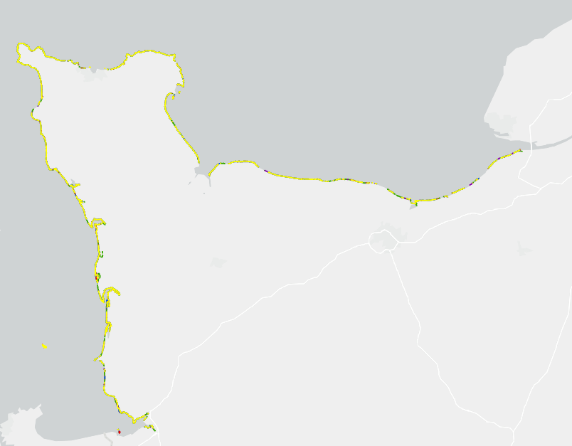

Spatial extent
N
S
E
W
Provided by

Associated resources
Not available