 Demo Catalogue powered by geOrchestra
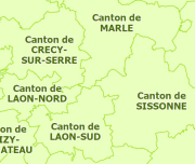
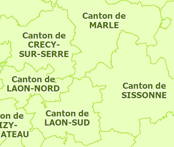
Cantons du département de l'Aisne
Couche vecteur polygonale représentant les limites administratives cantonales du département de l'Aisne.
Simple
- Date (Creation)
- 2012-01-02
- Citation identifier
- CANTONS_AISNE
Point of contact
No information provided.
-
GEMET
-
-
limite administrative
-
frontière infranationale
-
- Theme
-
-
cantons
-
- Theme
-
-
unités administratives
-
-
Départements de France
-
-
AISNE
-
-
GEMET - INSPIRE themes, version 1.0
-
-
Unités administratives
-
- Use limitation
-
Utilisation libre sous réserve de mentionner la source (a minima le nom du producteur) et la date de sa dernière mise à jour
- Access constraints
- Other restrictions
- Use constraints
- Other restrictions
- Other constraints
-
Pas de restriction d’accès public
- Language
-
fre
- Topic category
-
- Boundaries
N
S
E
W
))
- Description
-
AISNE
- Reference system identifier
- EPSG / RGF93 / Lambert-93 (EPSG:2154) / 7.4
- Statement
-
Limites des cantons électoraux recalés par rapport aux voies de la BD Topo (travail réalisé en reprenant la liste des rues affectés aux bureaux de vote).
Metadata
- File identifier
- ca9b18a4-ca10-4f70-911c-8ce02b2f0f5a XML
- Metadata language
-
fre
- Character set
- UTF8
- Hierarchy level
- Dataset
- Hierarchy level name
-
Jeu de données
- Date stamp
- 2019-06-26T14:33:57
- Metadata standard name
-
ISO 19115:2003/19139
- Metadata standard version
-
1.0
Metadata author
No information provided.
Overviews
thumbnail
large_thumbnail
Spatial extent
N
S
E
W
Provided by

Associated resources
Not available