 Demo Catalogue powered by geOrchestra
VILLAGES ETAPES
Alternatives aux aires de services, les communes labellisées offrent une pause alliant commerces, équipements et convivialité.
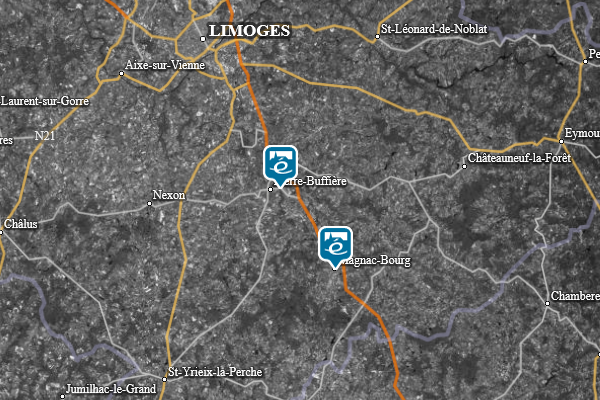
Les communes labellisées Villages étapes sont des communes de moins de 5 000 habitants et sont situées à moins de 5 km d'un grand axe routier national.
Label national créé en 1995.
Simple
- Alternate title
-
VILLAGES ETAPES
- Date (Publication)
- 2024-09-01
- Edition
-
1.0
- Citation identifier
- FFVE_VILLAGES-ETAPES
- Status
- On going
- Point of contact
-
Organisation name Individual name Electronic mail address Role Fédération Française des Villages Étapes
Point of contact
- Maintenance and update frequency
- Irregular
- Maintenance note
-
Le produit Villages Étapes gère son rythme de mise à jour.
-
GEMET - INSPIRE themes, version 1.0
-
-
Services d'utilité publique et services publics
-
- Theme
-
-
Label
-
Tourisme
-
Transport
-
Villages
-
- Specific usage
-
Echelles d'affichage
- User determined limitations
-
Echelles comprises entre le 1 : 5 000 et le 1 : 50 000.
- User contact info
-
Organisation name Individual name Electronic mail address Role Fédération Française des Villages Étapes
Distributor
- Use limitation
-
Base de données soumise aux conditions de la licence ouverte Etalab.
- Access constraints
- Other restrictions
- Other constraints
- Pas de restriction d’accès public
- Use constraints
- Other restrictions
- Other constraints
-
Licence Ouverte / Open License (compatible ODC-BY, CC-BY 2.0) https://www.etalab.gouv.fr/wp-content/uploads/2018/11/open-licence.pdf
- Use limitation
-
Aucune contrainte
- Classification
- Unclassified
- Spatial representation type
- Vector
- Denominator
- 25000
- Language
- Français
- Topic category
-
- Society
- Utilities communication
- Description
-
France métropolitaine
))
- Geographic identifier
-
FXX
ISO 3166 alpha 3 1974 publication
- Unique resource identifier
- EPSG:4326
- Codespace
-
urn:ogc:def:crs:EPSG:1.1
- Topology level
- Geometry only
- Distributor contact
-
Organisation name Individual name Electronic mail address Role Fédération Française des Villages Étapes
Distributor
- OnLine resource
-
Protocol Linkage Name OGC:WMS https://data.geopf.fr/wms-v/ows?service=wms&version=1.3.0&request=GetCapabilities VILLAGESETAPE
OGC:WFS https://data.geopf.fr/wfs/ows?SERVICE=WFS&VERSION=2.0.0&REQUEST=GetCapabilities LABELS.TOURISTIQUES:villages_etape
https://www.village-etape.fr/les-villages-etapes/
- Hierarchy level
- Series
Domain consistency
- Name of measure
-
Value domain conformance
Conformance result
- Title
-
Commission Regulation (EU) No 1089/2010 of 23 November 2010 implementing Directive 2007/2/EC of the European Parliament and of the Council as regards interoperability of spatial data sets and services
- Date (Publication)
- 2010-12-08
- Explanation
-
Dataset is conformant to the Inspire data specification.
- Pass
- Yes
- Statement
-
Produit par Fédération Française des Villages Étapes
- Description
-
Alternatives aux aires de services, les communes labellisées offrent une pause alliant commerces, équipements et convivialité.
Content Information
Metadata
- File identifier
- FFVE_VILLAGES-ETAPES XML
- Metadata language
- Français
- Character set
- UTF8
- Hierarchy level
- Series
- Hierarchy level name
-
Produit
- Date stamp
- 2018-11-13
- Metadata standard name
-
ISO 19115
- Metadata standard version
-
2003 Cor.1:2006
- Metadata author
-
Organisation name Individual name Electronic mail address Role Fédération Française des Villages Étapes
Point of contact
)))
