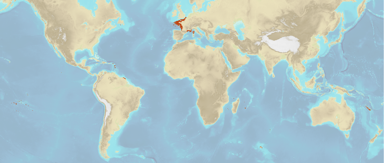
Wrecks and obstructions listed by Shom
The product "Wrecks and obstructions" contains a description of wrecks and obstructions in the French Exclusive Economic Zone (EEZ) as 2D point objects. Objects of the product "Wrecks and obstructions" are divided into 2 classes:
- Wrecks (WRECKS): all or part of a stranded or sunken ship or aircraft;
- Obstructions (OBSTRN): object of an artificial nature other than a wreck (for example: container, lost anchor).
This product does not concern floating or drifting objects (containers, debris, buoys out of position, ...) which position changes rapidly.
Simple
- Date (Creation)
- 1995-01-01
- Date (Revision)
- 2022-11-17
- Citation identifier
- http://www.shom.fr/BDML/EPAVES
- Credit
-
©Shom
- Point of contact
-
Organisation name Individual name Electronic mail address Role Shom
Point of contact
- Theme
-
-
wrecks
-
obstructions
-
obstacle
-
Product
-
- Use limitation
-
Public license Creative Commons Attribution-ShareAlike 4.0 International (CC BY-SA 4.0)
- Use limitation
-
Do not use for navigation
- Use limitation
-
Public license Creative Commons Attribution-ShareAlike 4.0 International (CC BY-SA 4.0)
- Access constraints
- License
- Use constraints
- Other restrictions
- Other constraints
-
Public license Creative Commons Attribution-ShareAlike 4.0 International (CC BY-SA 4.0)
- Access constraints
- Other restrictions
- Other constraints
- No public access restrictions.
- Classification
- Unclassified
- Spatial representation type
- Vector
- Language
- Français
- Character set
- UTF8
- Topic category
-
- Oceans
))
- Unique resource identifier
- WGS 84 (EPSG:4326)
- Distribution format
-
Name Version SHP
inapplicable
CSV
inapplicable
- Distributor contact
-
Organisation name Individual name Electronic mail address Role Shom
Point of contact
- OnLine resource
-
Protocol Linkage Name WWW:LINK-1.0-http--link
https://data.shom.fr Shom Geoportal
OGC Web Map Service https://services.data.shom.fr/INSPIRE/wms/v?service=WMS&request=GetCapabilities&version=1.3.0 EPAVES_BDD_WLD_WGS84G_WMS
WWW:LINK-1.0-http--link
https://diffusion.shom.fr/pro/ressources/bd-maritime-et-littoral/epaves.html Shom marketplace
- Hierarchy level
- Dataset
Conformance result
- Date (Publication)
- 2010-11-23
- Explanation
-
Information sur la conformité au règlement d'interopérabilité des séries et des services de données géographiques.
- Pass
- Yes
- Statement
-
The information used in the elaboration of this product comes from various sources.
Shom intern collection:
These are mainly surveys carried out by Shom's survey units. However, the following information can also be integrated:
- elements shown on an official nautical chart that have not been surveyed;
- information produced from satellite or aerial images or lidar surveys.
External collection:
- French Navy: some French Navy vessels fitted with underwater investigation equipment carry out interventions by divers and transmit the results of their explorations to Shom;
- Public organizations: in particular, the Departmental Directorates of Territories and the Sea (DDTM);
- Port organizations;
- Diving associations such as the Group for Research and Identification of Wrecks in the Eastern Channel (GRIEME);
- DRASSM: Department of underwater and underwater archaeological research;
- Divers wishing to share their information.
Metadata
- File identifier
- BDML_EPAVES.xml XML
- Metadata language
- Français
- Character set
- UTF8
- Hierarchy level
- Dataset
- Hierarchy level name
-
Produit
- Date stamp
- 2022-11-18T11:08:08
- Metadata standard name
-
ISO 19115:2003/19139
- Metadata standard version
-
1.0
- Metadata author
-
Organisation name Individual name Electronic mail address Role Shom
Point of contact
- Other language
-
Language Character encoding English UTF8
Overviews


Spatial extent
))
Provided by

 Demo Catalogue powered by geOrchestra