 Demo Catalogue powered by geOrchestra
Cadastre : Limites de section
Cette couche de polylignes est dérivée de la couche de polygones des sections du cadastre.
Elle a été crée spécialement à des fins de représentation cartographique des limites de sections.
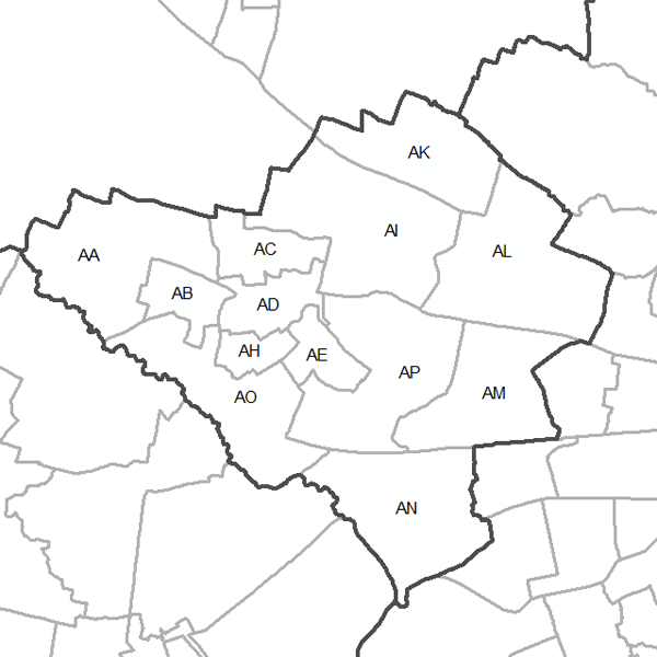
Exemple : limites en pointillés.
Simple
- Alternate title
-
limites des sections cadastrales
- Alternate title
-
cadastre_qgis.rm_sectio_lin
- Date (Creation)
- 2019-10-01
- Date (Revision)
- 2019-10-01
- Citation identifier
- https://public.sig.rennesmetropole.fr/geonetwork/srv/fre/xml.metadata.get?uuid=6c321772-435b-4dba-889f-852cd50e9c47
- Status
- Completed
- Point of contact
-
Organisation name Individual name Electronic mail address Role Rennes Métropole - Service Information Géographique
Service Information Géographique
Point of contact
- Maintenance and update frequency
- Quarterly
- Maintenance note
-
Pour plus de détails, voir la métadonnée parente (uuid = 903dea6a-fc33-4eb7-b652-a29476a9a0eb).
-
GEMET - INSPIRE themes, version 1.1
-
-
Hors INSPIRE
-
-
GEMET
-
-
cadastre
-
cadastre
-
limite administrative
-
-
GéoBretagne v 2.0
-
-
référentiels : cadastre
-
-
RM Diffusion v 1.2
-
-
diffusion restreinte
-
- Use limitation
-
Réutilisation libre sous réserve de la mention obligatoire se trouvant sur la métadonnées parente (uuid = 903dea6a-fc33-4eb7-b652-a29476a9a0eb).
- Access constraints
- Other restrictions
- Use constraints
- License
- Other constraints
-
Pas de restriction d’accès public
- Distance
- 10 m
- Language
- Français
- Character set
- UTF8
- Topic category
-
- Planning cadastre
))
- Reference system identifier
- RGF93 / CC48 (EPSG:3948)
- Topology level
- Abstract
- Geometric object type
- Curve
- Distribution format
-
Name Version GML
3.2.1
- Hierarchy level
- Dataset
- Statement
-
Traitement par construction d'une topologie de lignes à partir de la couche des polygones.
Metadata
- File identifier
- 6c321772-435b-4dba-889f-852cd50e9c47 XML
- Metadata language
- Français
- Character set
- UTF8
- Parent identifier
-
Cadastre : Sections
1a845216-6dda-45f9-bd14-32d127517a6e
- Hierarchy level
- Dataset
- Date stamp
- 2023-08-08T12:35:56
- Metadata standard name
-
ISO 19115:2003/19139
- Metadata standard version
-
1.0
- Metadata author
-
Organisation name Individual name Electronic mail address Role Rennes Métropole
Maël REBOUX - Service Information Géographique
Point of contact
Overviews
Spatial extent
Provided by
