 Demo Catalogue powered by geOrchestra
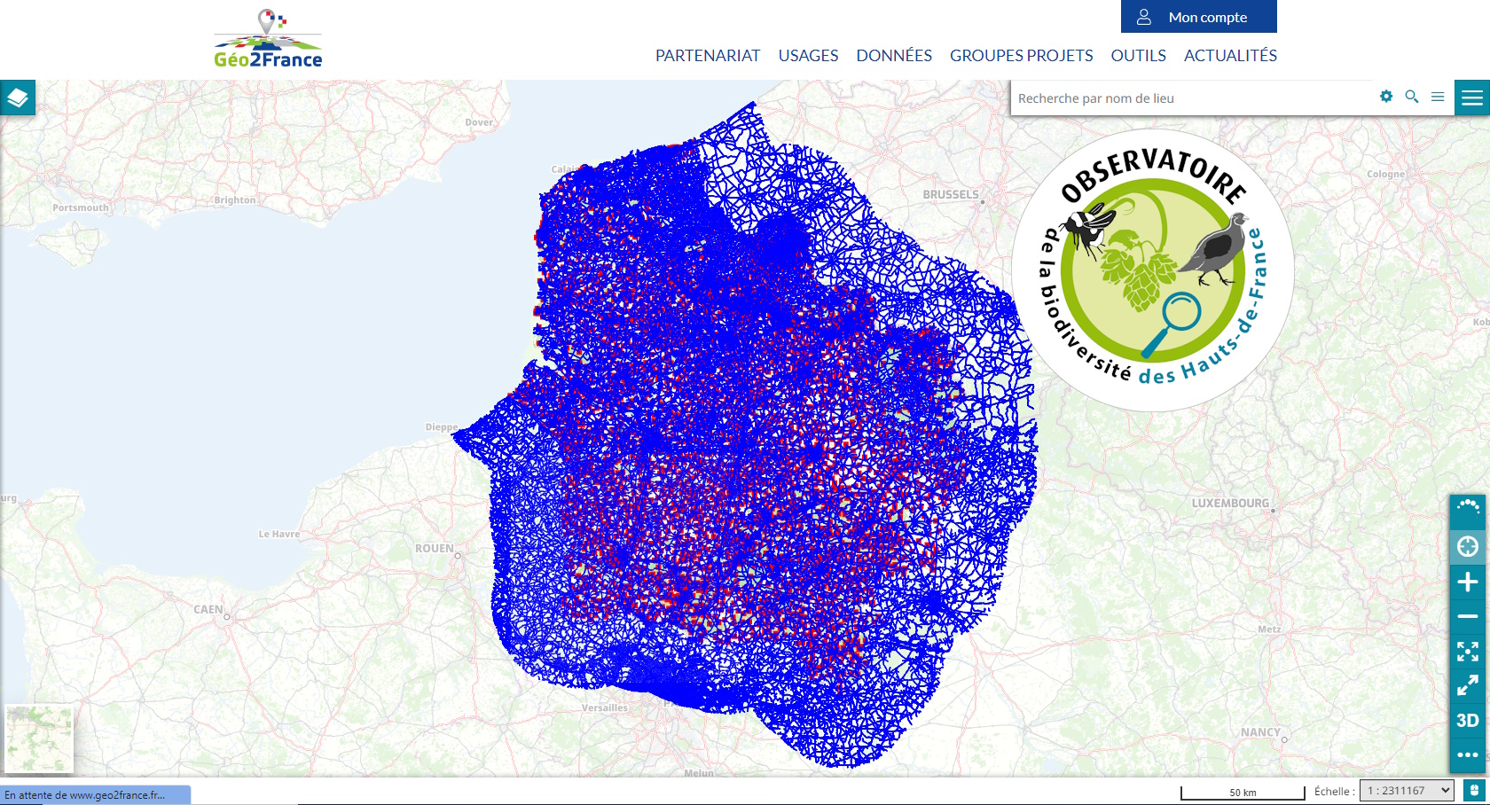
Principaux réseaux routiers des Hauts-de-France et régions limitrophes - Apprêter pour le calcul de réseaux
Extraction des principales routes des réseaux routiers français et belges dans un rayon de 30 km autour des Hauts-de-France. L'extraction a été faite de manière cohérente en lien avec les ilots IRIS de l'INSEE afin de faire de l'analyse de réseaux (exemple avec le plugin QNEAT3 de QGIS https://root676.github.io/ )
Simple
- Date (Creation)
- 2023-07-01
- Citation identifier
- https://www.geo2france.fr/---theme-de-la-donnee---
- Status
- Completed
- Point of contact
-
Organisation name Individual name Electronic mail address Role Agence régionale pour la biodiversité des Hauts-de-France
Point of contact
- Use limitation
-
-- Sélectionner au moins une valeur dans une des listes ci-dessous --
- Access constraints
- Other restrictions
- Access constraints
- Other restrictions
- Other constraints
- Pas de restriction d’accès public
- Use constraints
- Other restrictions
- Other constraints
-
Licence Ouverte version 2.0 https://www.etalab.gouv.fr/wp-content/uploads/2017/04/ETALAB-Licence-Ouverte-v2.0.pdf
- Spatial representation type
- Vector
- Denominator
- 5000
- Language
-
fre
- Character set
- UTF8
- Description
-
France
))
- OnLine resource
-
Protocol Linkage Name OGC:WMS
https://www.geo2france.fr/geoserver/orb/ows routes_nord_france_belgique
OGC:WFS
https://www.geo2france.fr/geoserver/orb/ows orb:routes_nord_france_belgique
- Hierarchy level
- Dataset
Conformance result
- Date (Publication)
- 2000-01-01
- Explanation
-
-- Information sur l'évaluation de la conformité (non INSPIRE) --
- Pass
- Statement
-
Extraction des principales routes ["importance" in ('1','2','3','4') or ("importance" = '5' and "nature" = 'Route à 1 chaussée'] à partir de la BD Topo pour la France et d'Open street map (OSM) pour la Belgique dans un rayon de 30km des Hauts-de-France.
Quelques tronçons ont été sélectionnés manuellement afin de correspondre aux nœuds des ilots IRIS (voir fiche : https://www.geo2france.fr/datahub/dataset/7c3f9bf1-396f-406c-b1c6-98d6f10bf387 ).
Metadata
- File identifier
- 5a1b7f8c-16d3-4a70-b185-5f0b4efaff6b XML
- Metadata language
- Français
- Character set
- UTF8
- Hierarchy level
- Dataset
- Hierarchy level name
-
Précision sur le niveau de hiérarchie (non INSPIRE)
- Date stamp
- 2023-11-13T14:33:13.252977Z
- Metadata standard name
-
ISO 19115:2003/19139
- Metadata standard version
-
1.0
- Metadata author
-
Organisation name Individual name Electronic mail address Role Géo2France
Point of contact
Overviews
Spatial extent
Provided by
