Quadrige Marine Zones
The definitive coastal information system, Quadrige stores coastal observation and monitoring network data.
In order to manage coastal monitoring data, Ifremer developed the Quadrige² information system. Quadrige is one element of the Water Information System (SIE) http:// www.eaufrance.fr, et à ce titre, contribue aux travaux du Secrétariat d'Administration National des Données Relatives à l'Eau (SANDRE) http://www.sandre.eaufrance.fr.
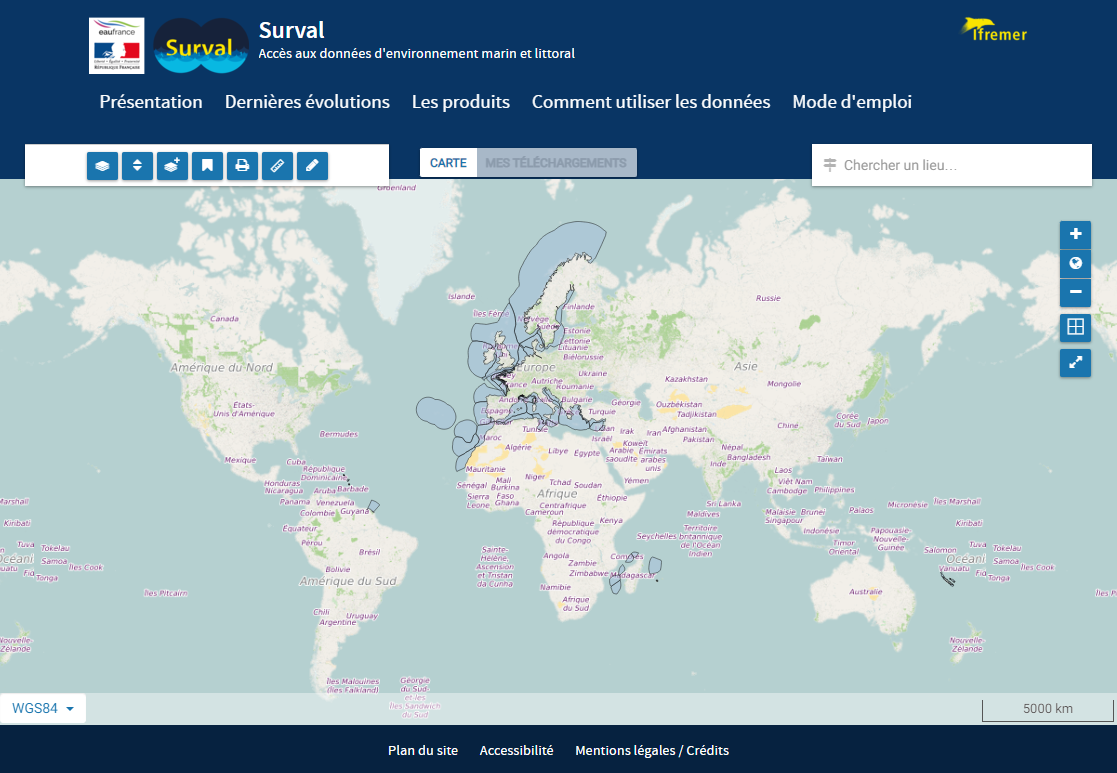
Quadrige Marine Zones is a reference source unique to the Quadrige system. It is used to break down the coast of the French mainland and overseas territories into large areas and to connect each one with observation and monitoring locations.
This referential has been updated in 2022. The follow-up of the evolutions is available in the document https://archimer.ifremer.fr/doc/00814/92642/
Simple
- Date (Creation)
- 2008-01-01T00:00:00
- Date (Revision)
- 2023-08-24T00:00:00
- Citation identifier
- IFR_SURVAL_QUADRIGE_ZM
- Purpose
-
To locate observation and monitoring locations.
- Credit
-
Ifremer (Quadrige)
- Status
- Completed
- Point of contact
-
Organisation name Individual name Electronic mail address Role Ifremer
Cellule d'Administration Quadrige
Point of contact Ifremer
Quadrige
Author Ifremer
Quadrige
Publisher
- Maintenance and update frequency
- As needed
-
Thèmes Sextant
-
-
/Human Activities/Coastal monitoring networks
-
- Theme
-
-
Observation and monitoring locations
-
Monitoring point
-
Observation
-
Marine Zones
-
Quadrige
-
-
GEMET - INSPIRE themes, version 1.0
-
-
Environmental monitoring facilities
-
-
Thématiques - SIMM
-
-
/Environmental Status/Pollution
-
/Environmental Status/Biogeochemistry
-
-
Ocean Hackathon - Ville et défi
-
-
/Boulogne-sur-Mer
-
/Brest
-
/Cherbourg
-
/Bournemouth
-
/Nouméa
-
/Nord de la Réunion
-
/Peniche
-
/Toulon
-
/La Rochelle
-
/Plymouth
-
- Access constraints
- Other restrictions
- Use constraints
- Other restrictions
- Other constraints
-
La Licence ouverte V2.0 d'Etalab s'applique aux données Quadrige validées sans moratoire.
Conformément à cette licence le « Réutilisateur » est libre de réutiliser l’« Information » sous réserve de mentionner la paternité de l’« Information » : la source et la date de dernière mise à jour de l’« Information » réutilisée.
- Spatial representation type
- Vector
- Denominator
- 5000
- Language
- Français
- Character set
- UTF8
- Topic category
-
- Oceans
))
- Reference system identifier
- EPSG / WGS 84 (EPSG:4326) / 7.9
- Topology level
- Geometry only
- Geometric object type
- Surface
- Distribution format
-
Name Version
- OnLine resource
-
Protocol Linkage Name WWW:LINK
https://wwz.ifremer.fr/envlit/Quadrige-la-base-de-donnees Système d'information de référence sur les eaux littorales
OGC:WMS
https://sextant.ifremer.fr/services/wms/environnement_marin Zones_Marines_Quadrige
OGC:WFS
https://sextant.ifremer.fr/services/wfs/environnement_marin Zones_Marines_Quadrige
- Hierarchy level
- Dataset
Conformance result
- Title
-
Inspire specifications
- Date (Creation)
- 2012-01-16
- Explanation
-
Non assessed
- Pass
- No
- Statement
-
Quadrige² database
- Description
-
Correction des polygones auto-intersectés
- Description
-
Création de nouveaux polygones
Metadata
- File identifier
- 214c3766-58f8-45c4-8c15-17de5aed3d9a XML
- Metadata language
- Français
- Character set
- UTF8
- Hierarchy level
- Dataset
- Date stamp
- 2024-01-24T16:14:27.601Z
- Metadata standard name
-
ISO 19115:2003/19139 - SEXTANT
- Metadata standard version
-
1.0
- Metadata author
-
Organisation name Individual name Electronic mail address Role Ifremer - Cellule d'administration Quadrige
Point of contact
- Other language
-
Language Character encoding English French UTF8
 Demo Catalogue powered by geOrchestra

)))
