 Demo Catalogue powered by geOrchestra
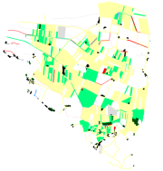
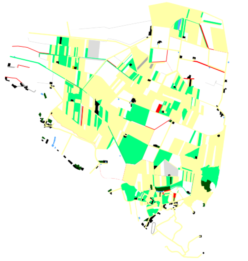
Occupation parcellaire (Pleine-Fougères, Zone D, 1978) - Zone Atelier Armorique ZAAr
Cadre: Carte de l'occupation parcellaire de la zone D du site de la Pleine-fougères (Zone Atelier Armorique).
Programme: ECCO PNBC
Date du vol: 1978
Simple
- Alternate title
-
ocsol_1978
- Date (Creation)
- 2007-09-03T00:00:00
- Status
- Completed
- Point of contact
-
Organisation name Individual name Electronic mail address Role LETG-RENNES UMR 6554 CNRS Université de Rennes 2
J.Nabucet & B.Fontaine
Author
- Maintenance and update frequency
- Not planned
-
GEMET
-
-
Informations géoscientifiques
-
-
theme.thesaurus_costel.rdf
-
theme.EnvironnementFR.rdf
-
-
Agriculture
-
Aménagement du territoire
-
Géographie
-
Sols
-
- Use limitation
-
Aucune condition ne s’applique
- Access constraints
- License
- Use constraints
- License
- Spatial representation type
- Vector
- Distance
- 2.3 m
- Language
-
fre
- Character set
- UTF8
- Topic category
-
- Imagery base maps earth cover
- Description
-
France, Fougères, site de Pleine Fougères
))
- Reference system identifier
- EPSG / RGF93 / Lambert-93 (EPSG:2154) / 7.4
- Distribution format
-
Name Version ESRI Shapefile
1.0
- OnLine resource
- Hierarchy level
- Dataset
Relative internal positional accuracy
- Evaluation method description
-
Donnée d'occupation parcellaire des zones D, du site de Pleine-fougères (ZAA), issu de la photo-interprétation de clichés aériens IGN à partir de la parcelle de la ZAA non conforme IGN (digitalisation à partir du Scan 25).
Quantitative result
- Value type
- measure
- Value
- 1,5m
Metadata
- File identifier
- 1851b05d-a131-4191-a7b7-6083cee64d2a XML
- Metadata language
-
fre
- Character set
- UTF8
- Hierarchy level
- Dataset
- Hierarchy level name
-
Jeu de données
- Date stamp
- 2018-06-14T15:10:53
- Metadata standard name
-
ISO 19115
- Metadata standard version
-
1.0
- Metadata author
-
Organisation name Individual name Electronic mail address Role LETG-RENNES UMR 6554 CNRS Université de Rennes 2
Jean Nabucet
Distributor
)))
