 Demo Catalogue powered by geOrchestra
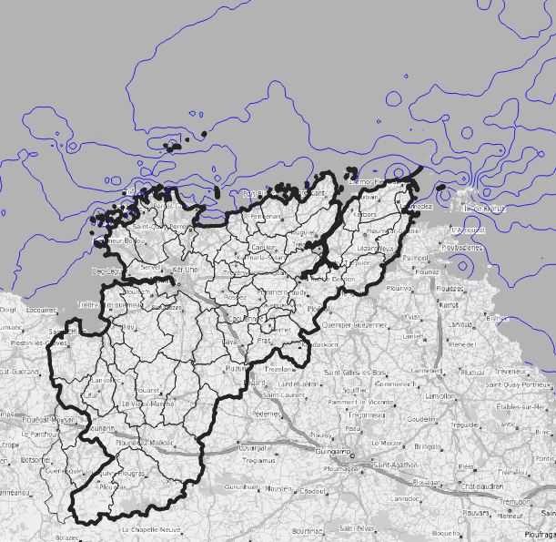
Vitesse du courant en mortes eaux
Calcul des isolignes de la vitesse du courant en m/s pour un coefficient de 45. L'intervalle entre les isolignes est de 0.1 m/s.
10/07/2014(Date de création)
10/07/2014(Date de publication)
Date d'extraction des données Geolittoral le : 05/01/2022
Simple
- Date (Creation)
- 2022-01-21
- Purpose
-
Visualiser le suivi de la vitesse du courant en mortes eaux autour du territoire de LTC
- Status
- Completed
- Point of contact
-
Organisation name Individual name Electronic mail address Role Lannion-Trégor Communauté
Service Développement, Data et Géomatique
Custodian
- Maintenance and update frequency
- As needed
- Maintenance note
-
Les points de suivi peuvent évoluer chaque année.
- Theme
-
-
mer
-
courant
-
ltc
-
- Use limitation
-
« Licence Ouverte / Open Licence » Version 2.0 (avril 2017) , définie par la mission Etalab placée sous l'autorité du Premier ministre. Utilisation libre sous réserve de mentionner la source (« Source : © EMR - Ministère en charge de l’environnement ») et la date de sa dernière mise à jour.
- Use limitation
-
Licence ouverte : https://www.etalab.gouv.fr/licence-ouverte-open-licence
- Access constraints
- Other restrictions
- Use constraints
- License
- Other constraints
-
Pas de restriction d’accès public
- Spatial representation type
- Vector
- Denominator
- 25000
- Language
-
fre
- Topic category
-
- Environment
))
- Reference system identifier
- EPSG:3948
- Topology level
- Geometry only
- Geometric object type
- Curve
- Distribution format
-
Name Version ESRI Shapefile
1.0
- OnLine resource
-
Protocol Linkage Name OGC:WMS-1.3.0-http-get-capabilities
https://geoserver.lannion-tregor.com/geoserver/wms? opendata:vm_littoral_mer_cour_v45
OGC:WFS
https://geoserver.lannion-tregor.com/geoserver/wfs? opendata:vm_littoral_mer_cour_v45
- Hierarchy level
- Dataset
Conformance result
- Title
-
INSPIRE Data Specification on Hydrography - Guidelines v 3.0.1
- Date (Publication)
- Explanation
-
Non évalué
- Pass
- No
Metadata
- File identifier
- 1498bd27-c100-4316-aa0e-aee76e7efcb3 XML
- Metadata language
-
fre
- Character set
- UTF8
- Hierarchy level
- Dataset
- Date stamp
- 2022-03-29T06:46:22
- Metadata standard name
-
ISO 19115
- Metadata author
-
Organisation name Individual name Electronic mail address Role Lannion-Trégor Communauté
Service Développement, Data et Géomatique
User Ministère en charge de l'environnement / DGALN - CGDD - DML
92055 - LA DEFENSE Cedex France
Dgaln@developpement-durable.gouv.frdml@ developpement-durable.gouv.frCgdd@developpement-durable.gouv.fr
Owner CEREMA Normandie-Centre
10 chemin de la poudrière - CS 90245 - F - 76121 - LE GRAND-QUEVILLY Cedex France
Custodian

)))
